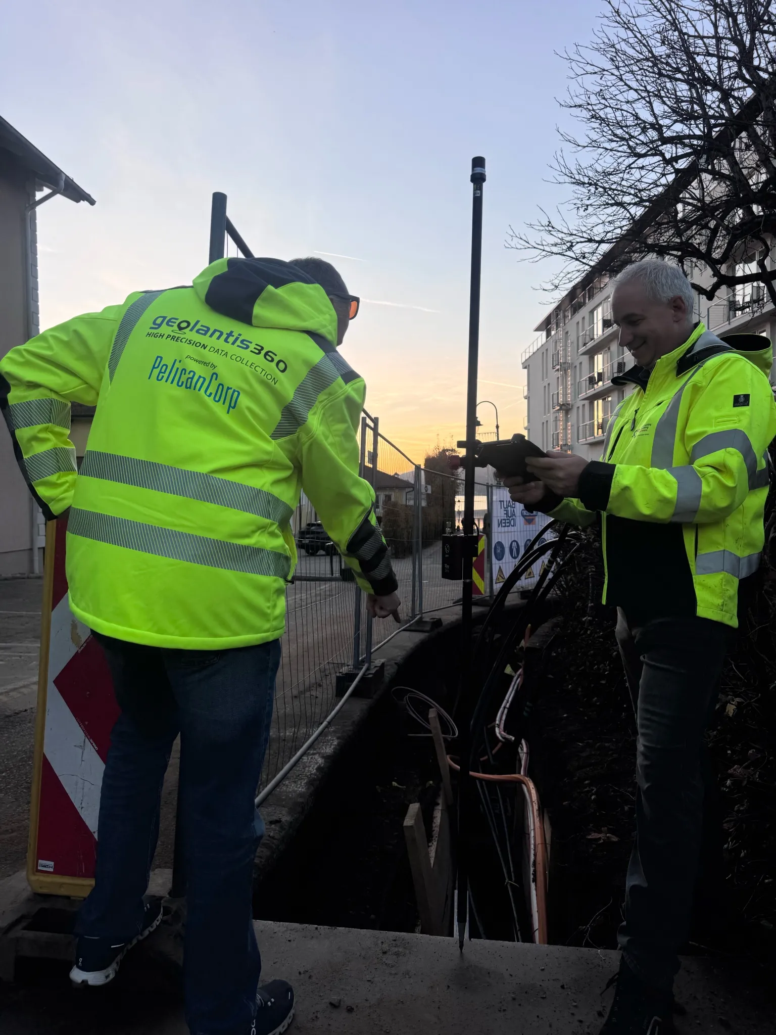
You own the customer
You onboard, you support, you invoice. We run the platform and stay out of your relationship.
Geolantis NEO Partner Program
Geolantis NEO is the hardware-neutral survey app for RTK capture, stakeout and CAD in the field. Put your logo in it, keep the customer relationship, and earn recurring commission for as long as each account subscribes.
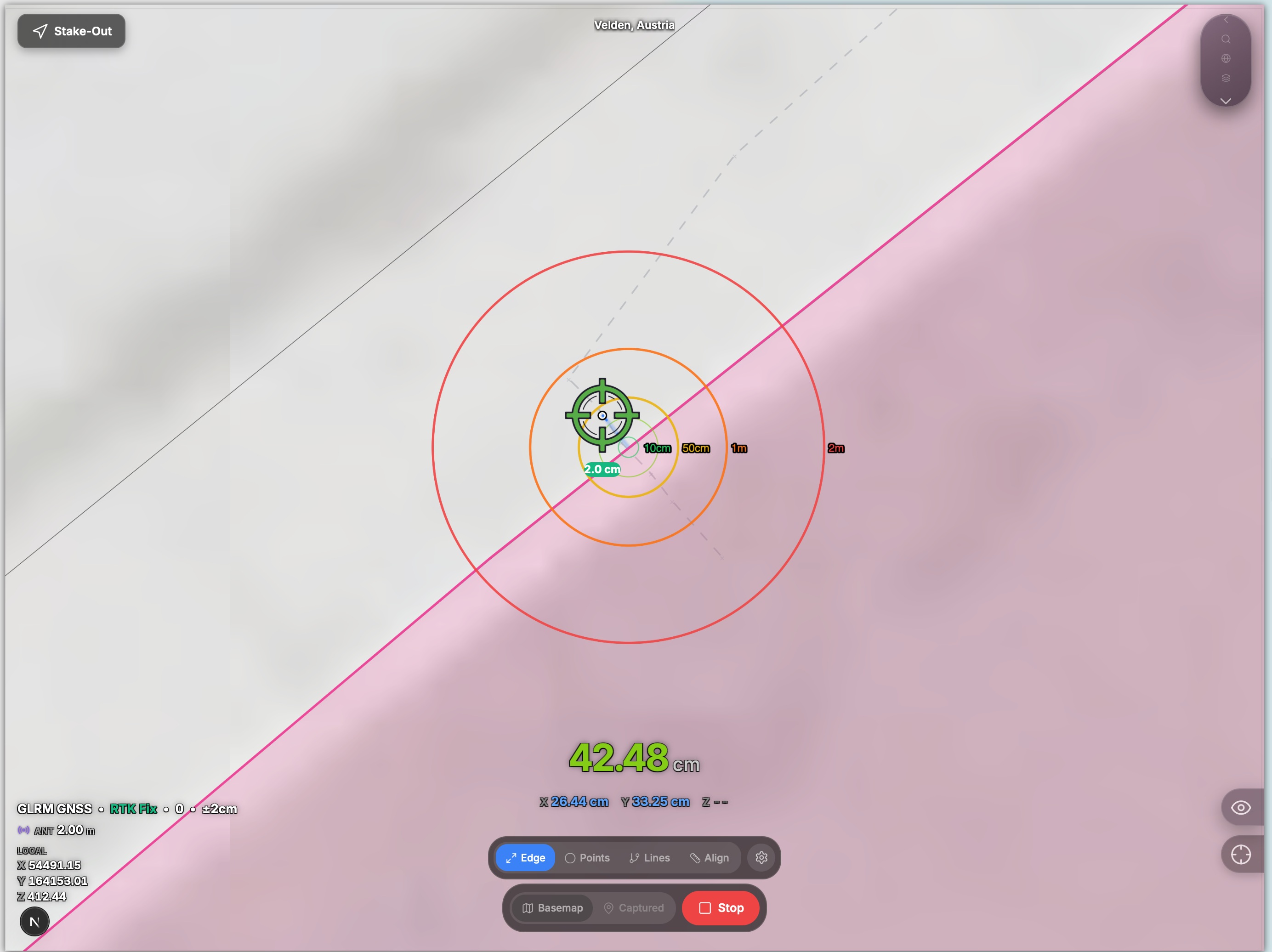
Already reselling Geolantis NEO
Who it is for
If your customers measure, map or stake out, NEO is the next thing they buy from you.
Turn every receiver sale into a recurring software subscription.
Complete the kit: the instrument and the app your customers survey with.
Give field crews a capture tool that feeds your GIS work cleanly.
Add field capture to the utility systems you already deploy.
Why Geolantis
You onboard, you support, you invoice. We run the platform and stay out of your relationship.
Every account you bring earns commission for as long as it stays subscribed — not a one-off referral fee.
NEO works with the GNSS receivers you already sell. No lock-in, and you can hide competing devices from the GeolantisNEO app.


Partner portal
Already built and in use by our partners today.
Create and administer your customers’ accounts from one place.
Put a client on a trial or a paid plan yourself, without waiting on us.
Issue discount codes that carry your referral code and earn your commission.
See what you have earned and download PDF statements.
Your logo and your support contact inside the app your customers use.
Step into a client account to help them — only after they grant consent, and always logged.
Getting started
Tell us what you sell and where. We reply within a few working days.
We create your partner account and walk you through the portal.
Onboard clients, support them, and earn commission on every subscription.
Talk to us about terms
Partners earn recurring commission on the accounts they bring and manage, assign plans and trials directly, and issue referral coupons. We tailor the arrangement to your market and volume.